The Ile de Ré sits proudly off the west coast of France, opposite La Pallice and La Rochelle, in the Charente-Maritime department of the Poitou-Charentes region. For a long time, it was separated from the mainland by the shallow waters of the Pertuis Breton, 3.2 km wide at its narrowest point, but a toll bridge was built in the late 1980s.
Dimensions and surface area of Île de Ré
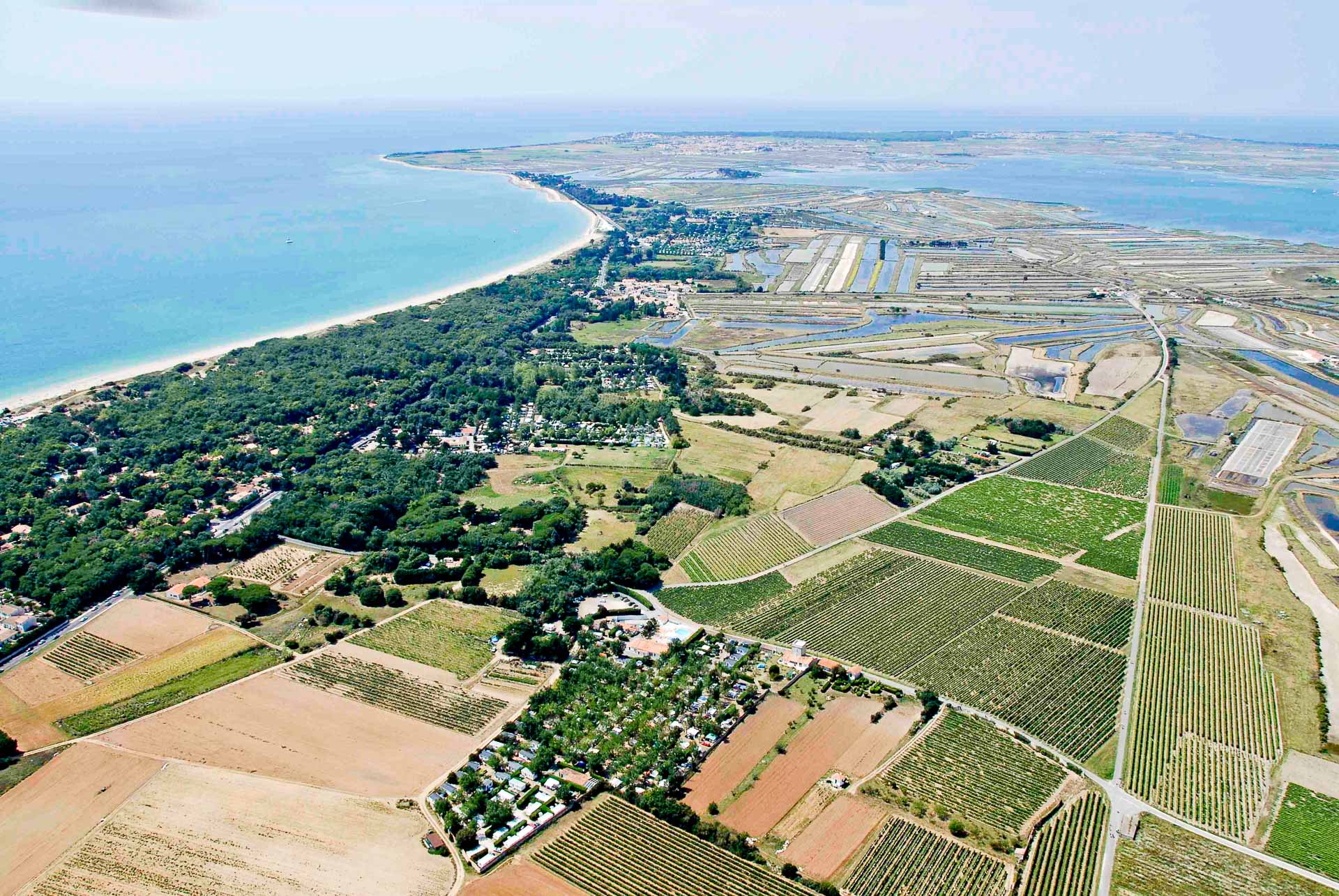
Ré la Blanche is 29 km long, up to 5 km wide and covers an area of 85 square km. On the island’s north coast, an indentation, the Fier d’Ars, almost divides it, leaving an isthmus only 73 meters in diameter.
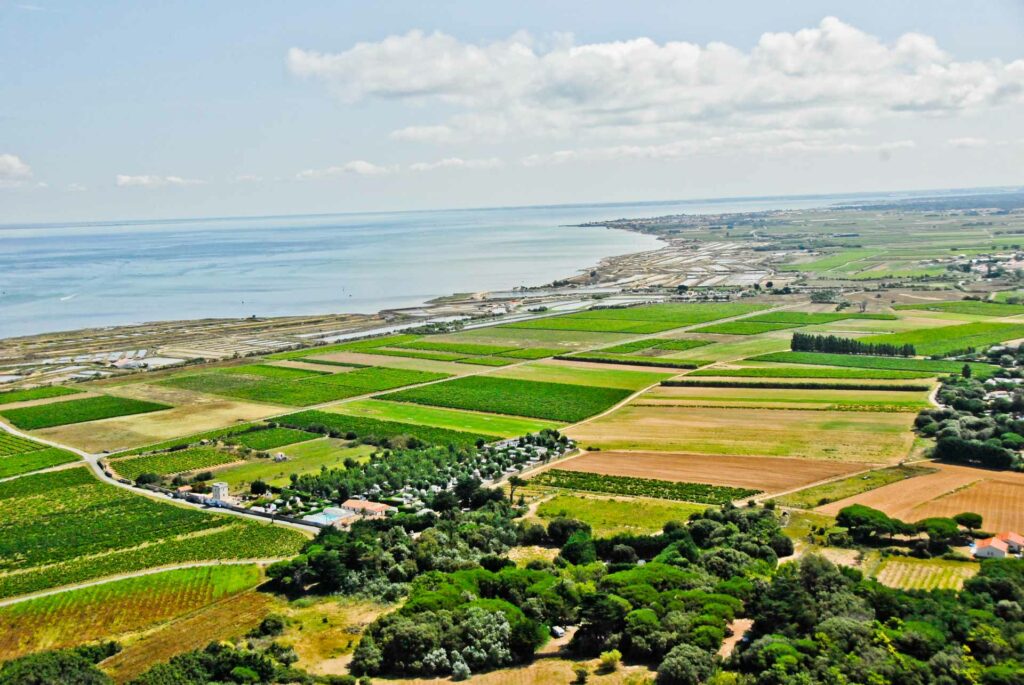
The island of Ré is fertile, and the cultivation of early vegetables, particularly asparagus, is abundant. There are also some beautiful vineyards. There are salt marshes, several oyster beds on the shores and vast stretches of sand. The best-known villages are Saint-Martin, with its famous port on the north coast, and La Flotte en Ré. Tourism accounts for a large part of the island’s economy. However, there’s another side to this coin: the preservation of natural resources, threatened by the large number of visitors in high season.
Geographical features of the island
There isn’t much relief on the Ile de Ré, and this has an impact on the island’ s weather: the region experiences frequent rainfall, especially in autumn and winter.
Its highest point is barely 20 metres above sea level, at Peu-des-amonts, in the commune of Bois-Plage-en-Ré.
The narrowest part of the island is the isthmus of Martray, which links the eastern and western parts of the island, and is attached to the commune of Ars-en-Ré.
In terms of landscape, there are large bays bordered by salt marshes at Rivedoux-Plage, Loix and Ars. The Fier d’Ars bay is one of the largest, covering 800 hectares. The island also boasts a number of small cliffs at La Flotte and Saint-Martin. Sandy beaches and large dunes are also the pride of the island, as at Saint-Clément des Baleines and Portes-en-Ré. Come and discover all this during a stay at our campsite in La Couarde sur Mer on the Ile de Ré.


